
 Contact
 Hoe winkelen bij ons werkt
Bezorging
Winkelgids
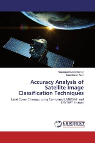
Accuracy Analysis of Satellite Image Classification Techniques
Land Cover Changes using Combined LANDSAT and ENVISAT Images
 Engels
 108 b
108 b
Tot 30 dagen retourrecht
Klanten kochten ook

 /
/
 Gebonden (paperback)
 43.85
€
43.85
€











 /
Gebonden (paperback)
14.37
€
/
Gebonden (paperback)
14.37
€
 /
Gebonden (paperback)
26.22
€
/
Gebonden (paperback)
26.22
€

 /
Gebonden (paperback)
30.88
€
/
Gebonden (paperback)
30.88
€
 /
Gebonden (paperback)
11.84
€
/
Gebonden (paperback)
11.84
€
 /
Gebonden (paperback)
12.04
€
/
Gebonden (paperback)
12.04
€




Recent monsoon failures and reduced rain falls urge the environmental and ecology researchers to concentrate on the land cover changes. Significant and efficient way to monitor the land cover changes is satellite image classification. Classification of land cover changes of the study area are identified as used land, unused land, forest and vegetation. Using different kinds of remote sensing data like LANDSAT and ENVISAT, is an important research area for improving the classification performance. This work describes the combination of remotely sensed data, LANDSAT and ENVISAT images, to improve the classification accuracy. Classification algorithms KNN (K-Nearest Neighborhood) and SVM (Support Vector Machine) are tested for the accuracy and KNN in Embedding Space (KNNES) and SVM in Embedding Space (SVMES) are proposed and tested for the improved accuracy. Accuracy is quantified by reporting standard errors i.e., producer accuracy, user accuracy, omission error and commission error.


Informatie over het boek
Engels

Geef dit boek vandaag nog cadeau
Dat gaat heel eenvoudig
1 Voeg het boek toe aan je winkelwagentje en selecteer Als cadeau bezorgen 2 Je krijgt van ons per omgaand een voucher 3 Het boek wordt bezorgd op het adres van de ontvangerDit vind je misschien ook interessant

 /
Gebonden (harde band)
70.69
€
/
Gebonden (harde band)
70.69
€
 /
Gebonden (harde band)
209.34
€
/
Gebonden (harde band)
209.34
€

 /
Gebonden (paperback)
8.60
€
/
Gebonden (paperback)
8.60
€
 /
Gebonden (harde band)
235.27
€
/
Gebonden (harde band)
235.27
€
 /
Leporello (harmonicaboek)
12.14
€
/
Leporello (harmonicaboek)
12.14
€












 /
Gebonden (paperback)
30.88
€
/
Gebonden (paperback)
30.88
€

 /
Gebonden (paperback)
60.66
€
/
Gebonden (paperback)
60.66
€





Hoi! Ik ben Libroamiko, je boekadviseur.
Hoe kan ik je helpen?