 Contact
 Hoe winkelen bij ons werkt
Bezorging
Winkelgids
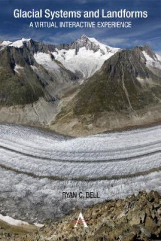
Glacial Systems and Landforms
 Engels
 70 b
70 b
Tot 30 dagen retourrecht
Klanten kochten ook

 /
/
 Gebonden (paperback)
 16.19
€
16.19
€

 /
Gebonden (paperback)
44.55
€
/
Gebonden (paperback)
44.55
€

This interactive guide serves to make glacial systems and landforms more accessible, as students use Google Earth and other satellite imagery to understand the patterns and processes found within glacial environments. Guided inquiry activities range from calculating the Mendenhall Glacier's rate of melting to identifying erosional landforms in the Swiss Alps. In this way, the guide offers a virtual interactive experience in which students can visit and explore glacial systems and landforms in 3D. Through studying these images the student will not only start to recognize the forms commonly found within glacial landscapes, but also develop skills in map analysis and interpretation.


Informatie over het boek
Engels

Geef dit boek vandaag nog cadeau
Dat gaat heel eenvoudig
1 Voeg het boek toe aan je winkelwagentje en selecteer Als cadeau bezorgen 2 Je krijgt van ons per omgaand een voucher 3 Het boek wordt bezorgd op het adres van de ontvangerDit vind je misschien ook interessant


Hoi! Ik ben Libroamiko, je boekadviseur.
Hoe kan ik je helpen?