
 Contact
 Hoe winkelen bij ons werkt

Bezorging
Winkelgids
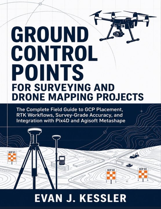
GROUND CONTROL POINTS FOR SURVEYING AND DRONE MAPPING PROJECTS
The Complete Field Guide to GCP Placement, RTK Workflows, Survey-Grade Accuracy, and Integration with Pix4D and Agisoft Metashape
 Engels
 86 b
Tot 30 dagen retourrecht
Klanten kochten ook


 /
 Paperback
 44.34
€




 /
Paperback
20.70
€


GROUND CONTROL POINTS FOR SURVEYING AND DRONE MAPPING PROJECTS
The Complete Field Guide to GCP Placement, RTK Workflows, Survey-Grade Accuracy, and Integration with Pix4D and Agisoft Metashape
By Evan J. Kessler (Independently published)
Ground Control Points can make or break a drone mapping project.
A clean orthomosaic may look professional, but if the control points are poorly placed, the coordinate system is wrong, or checkpoints are misunderstood, the final map may not be reliable. This practical field guide helps drone operators, survey technicians, GIS users, engineers, construction professionals, and mapping beginners understand how accurate drone mapping is built from the ground up.
Ground Control Points for Surveying and Drone Mapping Projects explains GCP placement, RTK and PPK workflows, GNSS field practices, coordinate systems, datums, checkpoints, RMSE, target design, flight planning, Pix4D workflows, Agisoft Metashape workflows, troubleshooting, reporting, and professional deliverables in clear, practical language.
Inside, you will learn how to:
- Plan stronger GCP networks before fieldwork begins
- Choose better target locations for real project conditions
- Understand GCPs, checkpoints, RMSE, RTK, PPK, datums, and geoid models
- Measure control points more carefully using GNSS, RTK, PPK, total station, and leveling workflows
- Avoid common coordinate system and elevation reference mistakes
- Use GCPs correctly in Pix4D and Agisoft Metashape
- Read accuracy reports with greater confidence
- Troubleshoot high RMSE, weak checkpoints, poor distribution, and processing errors
- Prepare professional field logs, accuracy statements, and final deliverables
This book is not a generic drone flying guide. It is a practical workflow manual for readers who want to move beyond attractive aerial images and produce better-controlled, better-documented mapping outputs.
If you want to understand how field decisions, control strategy, software processing, and validation work together, this guide gives you a clear path from GCP planning to final project delivery.


Informatie over het boek
Engels
Categorieën

Geef dit boek vandaag nog cadeau
Dat gaat heel eenvoudig
1 Voeg het boek toe aan je winkelwagentje en selecteer Als cadeau bezorgen 2 Je krijgt van ons per omgaand een voucher 3 Het boek wordt bezorgd op het adres van de ontvangerDit vind je misschien ook interessant

 /
Paperback
52.17
€


 /
Gebonden
38.60
€


 /
 Adobe ePub DRM
76.93
€








Hoi! Ik ben Libroamiko, je boekadviseur.
Hoe kan ik je helpen?