 Contact
 Hoe winkelen bij ons werkt
Bezorging
Winkelgids
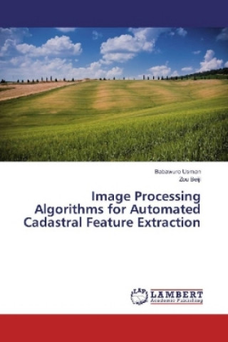
Image Processing Algorithms for Automated Cadastral Feature Extraction
 Engels
 80 b
80 b
Tot 30 dagen retourrecht
Klanten kochten ook


 /
/
 Gebonden (harde band)
 29.87
€
29.87
€


 /
Gebonden (harde band)
50.33
€
/
Gebonden (harde band)
50.33
€
 /
Gebonden (harde band)
26.02
€
/
Gebonden (harde band)
26.02
€

 /
Gebonden (paperback)
49.92
€
/
Gebonden (paperback)
49.92
€
 /
Gebonden (harde band)
42.43
€
/
Gebonden (harde band)
42.43
€

 /
Gebonden (paperback)
11.23
€
/
Gebonden (paperback)
11.23
€


 /
Gebonden (paperback)
26.73
€
/
Gebonden (paperback)
26.73
€

 /
Gebonden (paperback)
20.35
€
/
Gebonden (paperback)
20.35
€

 /
Gebonden (paperback)
45.26
€
/
Gebonden (paperback)
45.26
€

Computer vision and Image processing paradigms deal with edges and forms. Specifically edges are points where there is a boundary between two image regions. Visually, they form the outline of a feature. An edge is the boundary between a feature and its background. Technically, if edges of features are algorithmically identified and detected accurately, then all features could be located and their basic geometric properties could be determined. Similarly, these edges and forms of features are part and parcel of Cadastral Surveying and they are used to obtain the geometric values of the features, hence delineating and mapping cadastral features for the production of Cadastral plans using field oriented Surveying.Besides cadastral plans, high resolution satellite imageries have potential cadastral values as they are used to depict cadastral features. In computer vision they are used to extract linear features. The extraction of linear features or boundaries defining the extents of lands, land covers or other topographic features are very important and useful in Cadastral Surveying.The aims are to employ the concepts of computer vision using Satellite imagery to extract features.


Informatie over het boek
Engels

Geef dit boek vandaag nog cadeau
Dat gaat heel eenvoudig
1 Voeg het boek toe aan je winkelwagentje en selecteer Als cadeau bezorgen 2 Je krijgt van ons per omgaand een voucher 3 Het boek wordt bezorgd op het adres van de ontvangerDit vind je misschien ook interessant


 /
Gebonden (harde band)
30.78
€
/
Gebonden (harde band)
30.78
€

 /
Gebonden (paperback)
18.22
€
/
Gebonden (paperback)
18.22
€


Hoi! Ik ben Libroamiko, je boekadviseur.
Hoe kan ik je helpen?