Contact
 Hoe winkelen bij ons werkt
Bezorging
Winkelgids
MACHINE LEARNING ALGORITHMS
 Engels
 149 b
149 b
Retourneren binnen 30 dagen
Klanten kochten ook


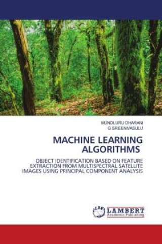
Remote sensing is immensely useful for gathering data from Earth-surface objects without coming into direct contact with them. Multi-spectral satellite images are essential for data analysis in the fields of agriculture, regional planning, geology, meteorology, forestry, landscape, biodiversity conservation. Enhancement is the best method for extracting more information from a large dataset. The information increases the number of pixels that can effectively represent the image's information and display its spectral features. These values are maintaining the trade-off balance between spatial and spectral values with dimensional reduction technique and Machine Learning algorithms.


Informatie over het boek
Engels

Geef dit boek vandaag nog cadeau
Dat gaat heel eenvoudig
1 Voeg het boek toe aan je winkelwagentje en selecteer Als cadeau bezorgen 2 Je krijgt van ons per omgaand een voucher 3 Het boek wordt bezorgd op het adres van de ontvangerDit vind je misschien ook interessant


 /
/
 Gebonden (paperback)
 32.02
€
32.02
€