 Contact
 Hoe winkelen bij ons werkt
Bezorging
Winkelgids
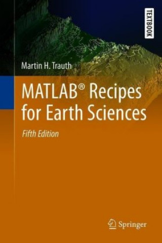
MATLAB (R) Recipes for Earth Sciences
 Engels
 179 b
179 b
Tot 30 dagen retourrecht
Klanten kochten ook


 /
/
 Gebonden (paperback)
 38.22
€
38.22
€


 /
Gebonden (paperback)
33.58
€
/
Gebonden (paperback)
33.58
€


 /
Gebonden (paperback)
10.58
€
/
Gebonden (paperback)
10.58
€


 /
Gebonden (paperback)
32.17
€
/
Gebonden (paperback)
32.17
€


MATLAB® is used in a wide range of geoscientific applications, such as for image processing in remote sensing, for generating and processing digital elevation models, and for analyzing time series. This book introduces methods of data analysis in geosciences using MATLAB, such as basic statistics for univariate, bivariate and multivariate datasets, time-series analysis, signal processing, the analysis of spatial and directional data, and image analysis. The revised and updated Fifth Edition includes seven new sections and most chapters have been greatly expanded and rewritten. New sections include error analysis, the problem of classical linear regression of log-transformed data, aligning stratigraphic sequences, the Normalized Difference Vegetation Index, Aitchison's log-ratio transformation, graphical representation of spherical data, and statistics of spherical data. The text includes numerous examples demonstrating how MATLAB can be used on data sets from earth sciences. The book's supplementary electronic material (available online through Springer Link) contains recipes that include all the MATLAB commands featured in the book and the example data.


Informatie over het boek
Engels

Geef dit boek vandaag nog cadeau
Dat gaat heel eenvoudig
1 Voeg het boek toe aan je winkelwagentje en selecteer Als cadeau bezorgen 2 Je krijgt van ons per omgaand een voucher 3 Het boek wordt bezorgd op het adres van de ontvangerDit vind je misschien ook interessant
 /
Gebonden (paperback)
11.29
€
/
Gebonden (paperback)
11.29
€

 /
Gebonden (paperback)
19.26
€
/
Gebonden (paperback)
19.26
€

 /
Gebonden (harde band)
170.75
€
/
Gebonden (harde band)
170.75
€


 /
Gebonden (harde band)
78.87
€
/
Gebonden (harde band)
78.87
€
 /
Gebonden (paperback)
10.28
€
/
Gebonden (paperback)
10.28
€


 /
Gebonden (paperback)
7.66
€
/
Gebonden (paperback)
7.66
€


 /
Gebonden (harde band)
184.17
€
/
Gebonden (harde band)
184.17
€


Hoi! Ik ben Libroamiko, je boekadviseur.
Hoe kan ik je helpen?