 Contact
 Hoe winkelen bij ons werkt
Bezorging
Winkelgids
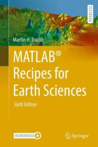
MATLAB® Recipes for Earth Sciences
 Engels
 355 b
355 b
Tot 30 dagen retourrecht
Klanten kochten ook


 /
/
 Gebonden (harde band)
 5.87
€
5.87
€


 /
Gebonden (paperback)
18.74
€
/
Gebonden (paperback)
18.74
€
 /
/
 Kalender
57.86
€
Kalender
57.86
€
 /
Kalender
22.79
€
/
Kalender
22.79
€


 /
Gebonden (paperback)
54.11
€
/
Gebonden (paperback)
54.11
€


MATLAB® is used in a wide range of geoscientific applications, such as for image processing in remote sensing, for generating and processing digital elevation models, and for analyzing time series. This book introduces methods of data analysis in the earth sciences using MATLAB, such as basic statistics for univariate, bivariate, and multivariate data sets, time series analysis, signal processing, spatial and directional data analysis, and image analysis. The text includes numerous examples demonstrating how MATLAB can be used on data sets from the earth sciences. The supplementary electronic material (available online through Springer Link) contains recipes that include all the MATLAB commands featured in the book and example data.


Informatie over het boek
Engels
Categorieën

Geef dit boek vandaag nog cadeau
Dat gaat heel eenvoudig
1 Voeg het boek toe aan je winkelwagentje en selecteer Als cadeau bezorgen 2 Je krijgt van ons per omgaand een voucher 3 Het boek wordt bezorgd op het adres van de ontvangerDit vind je misschien ook interessant


 /
Gebonden (paperback)
37.39
€
/
Gebonden (paperback)
37.39
€
 /
Gebonden (paperback)
12.66
€
/
Gebonden (paperback)
12.66
€

 /
Gebonden (paperback)
12.15
€
/
Gebonden (paperback)
12.15
€

 /
Gebonden (paperback)
34.14
€
/
Gebonden (paperback)
34.14
€


Hoi! Ik ben Libroamiko, je boekadviseur.
Hoe kan ik je helpen?