Contact
 Hoe winkelen bij ons werkt
Bezorging
Winkelgids
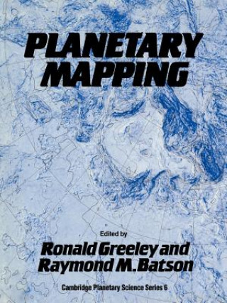
Planetary Mapping
 Engels
 193 b
193 b
Retourneren binnen 30 dagen
Klanten kochten ook


 /
/
 Gebonden (paperback)
 12.94
€
12.94
€


 /
Gebonden (paperback)
29.53
€
/
Gebonden (paperback)
29.53
€


Planetary Mapping describes the history and process of mapping planets and satellites beyond the Earth. Mapping planetary bodies is a unique process much different from ordinary terrestrial cartography. Although many kinds of imaging systems have been launched into interplanetary space, nearly all of them were designed for purposes other than map-making. Thus, special mapping techniques described in this book had to be invented to make use of images from space. Furthermore, planets and satellites are difficult to depict in maps. For instance, unlike on Earth, on planetary bodies there are no shorelines, rivers, roads or political boundaries to guide the map-maker. The book begins with an introduction to the differences between terrestrial and planetary mapping and continues with a general discussion of the history of planetary mapping. The fundamentals of cartographic techniques are described in detail in the next chapter. This is followed by sections on planetary nomenclature, geodetic considerations, and topographic and geologic mapping.


Informatie over het boek
Engels

Geef dit boek vandaag nog cadeau
Dat gaat heel eenvoudig
1 Voeg het boek toe aan je winkelwagentje en selecteer Als cadeau bezorgen 2 Je krijgt van ons per omgaand een voucher 3 Het boek wordt bezorgd op het adres van de ontvangerDit vind je misschien ook interessant
 /
Gebonden (harde band)
264.67
€
/
Gebonden (harde band)
264.67
€
 /
Gebonden (paperback)
45.12
€
/
Gebonden (paperback)
45.12
€


 /
Gebonden (paperback)
14.86
€
/
Gebonden (paperback)
14.86
€