
 Contact
 Hoe winkelen bij ons werkt

Bezorging
Winkelgids
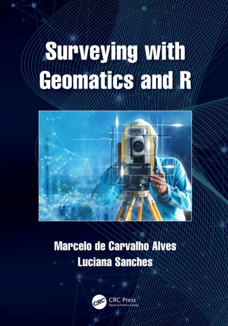
Surveying with Geomatics and R
 Engels
 174 b
Klanten kochten ook





 /
 Paperback
 14.57
€



Surveying with Geomatics and RThis book explains basic concepts of surveying science and techniques with geomatics using R software and R packages. It engages students in learning about surveying through real field examples and using differing degrees of complexity while exploring surveying problems based on field observations and advanced geospatial technology. It includes a wide range of case studies as hands-on and self-paced tutorials along with detailed computer programming routines that are linked to the theories and applications explained in each chapter. This innovative textbook also teaches how to explore other possibilities of using geomatics in geocomputation, remote sensing, geography and cartography courses focused on surveying tasks.Features include:Provides modern surveying practices with free software algorithm and R toolset for active learningIncludes case studies from different geographical areas using arbitrary and international cartographic reference systemsEnables and demonstrates the integration of traditional geomatics with modern geospatial big data technologiesExplains data standards, equipment used, possible analyses and the importance of error evaluation for scientific surveyingDiscusses different scales of landscapes and brings together the experiences of leading experts in the field


Informatie over het boek
Engels
Categorieën

Geef dit boek vandaag nog cadeau
Dat gaat heel eenvoudig
1 Voeg het boek toe aan je winkelwagentje en selecteer Als cadeau bezorgen 2 Je krijgt van ons per omgaand een voucher 3 Het boek wordt bezorgd op het adres van de ontvangerDit vind je misschien ook interessant
 /
 Adobe ePub DRM
159.70
€
/
Adobe ePub DRM
44.75
€


 /
Adobe ePub DRM
140.29
€





Hoi! Ik ben Libroamiko, je boekadviseur.
Hoe kan ik je helpen?